Course Maps
We love this river. A water flow that originates from the snow-capped peaks of the Sawtooth and Boise mountains, our race courses will get you intimately close to the sounds of the river as it winds through a rocky canyon and melts into an urban setting. We do reserve the right to make changes as we can't be boring.
DISCLAIMER - All routes are subject to change at anytime. Please check back often.
HYDRATION STATIONS
Participants will cross Hydration Stations roughly every two miles on the course. Hydration Stations will be equipped water, sports drinks, and fuel, first aid & awesome folks cheering you on! Just a note, we do place emphasis on placing Hydration Stations on critical portions of our race so that may affect distancing. For example, turns and turnarounds seem to work better when at a Hydration Station.
Please do not litter on course and dispose of your trash at the Hydration Stations. We do have a team that sweeps the entire course for garbage post race, but please make their life easier and do not litter on the course.
UPDATE: AUGUST 28 -
The City has reviewed the original 2002 route request and unfortunately did not approve the use of roads this year. Instead, they’ve recommended that we shift the course back onto the Greenbelt. We’ll be releasing updated maps and details shortly.
Please note: with Ada County’s closure of portions of the Greenbelt, our ability to extend the course west toward Garden City and Eagle will be limited. We’re working closely with the City to finalize the best possible course within those parameters, and we’ll keep you updated as soon as we have confirmation.
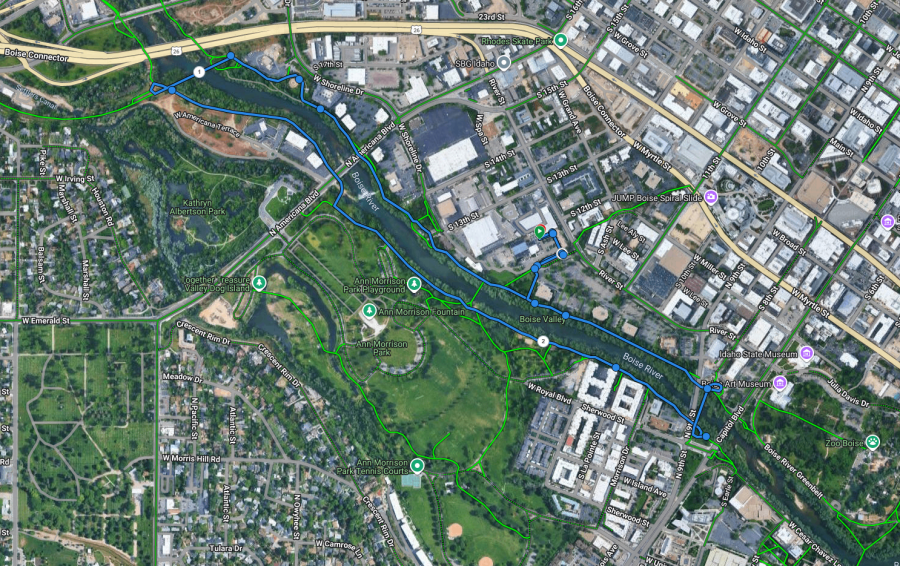
FULL MARATHON - UPDATED - 9.12.2025 - CLICK HERE FOR LINK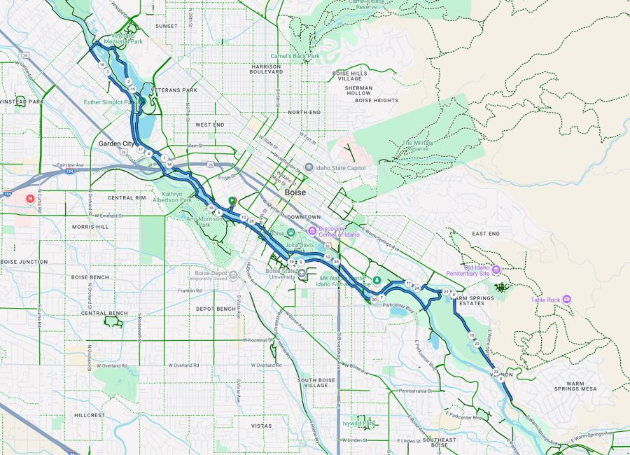
HALF MARATHON - UPDATED - 9.12.2025 - CLICK HERE FOR LINK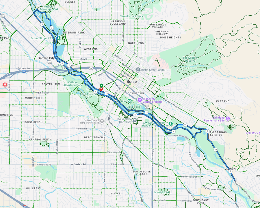
10K COURSE - UPDATED - 9.12.2025 - CLICK HERE FOR LINK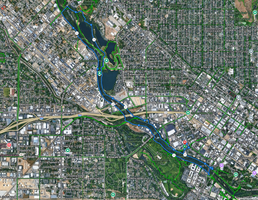
5K COURSE - UPDATED - 9.12.2025 - CLICK HERE FOR LINK